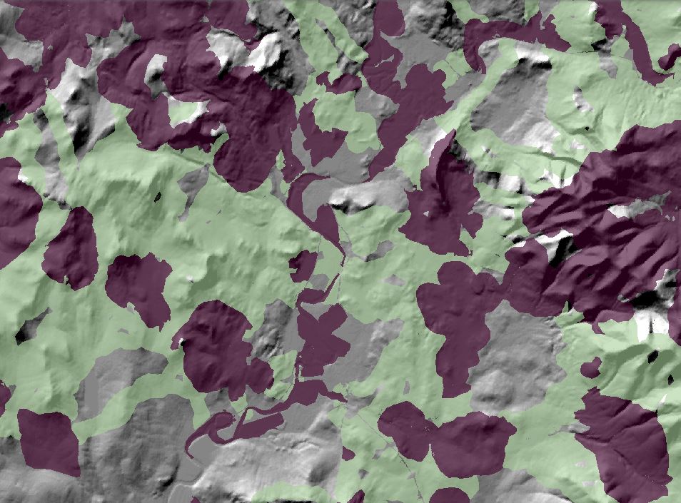
Terrestrial core-connector network
The set of highest priority (Tier 1) terrestrial core areas and the connectors between them. In combination with the aquatic core areas (see loticCores.shp and lenticCores.shp), they spatially represent the ecological network derived from the CTR LCD project. The network is designed to provide strategic guidance for conserving natural areas, and the fish, wildlife, and other components of biodiversity that they support within the Connecticut River watershed. A total of 1,120 core areas have been identified, ranging in size from 8 to 26,515 ha, with an average size of 600 ha.
Two associated files (tCoreEcoSum.csv and tCoreSpeciesSum.csv) provide details on the makeup of each individual core area. The first file reports the total area of each ecological system that makes up a given core (for example, 2 ha of Boreal-Laurentian Bog, 119 ha of Northeastern Coastal and Interior Pine-Oak Forest, etc.). It also includes other information about the relative importance of a given core in terms of ecosystems. The second file reports information about the importance of the core area as habitat for the terrestrial representative species.
View this product as a web map on Data Basin.
Access this data as a GIS download from the North Atlantic LCC website.
Read the Technical Abstract for this data layer (tCoreNet.shp).


