Stream class
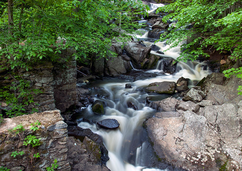
Vector version of streams by ecological system classification. Streams are mapped among their centerlines. This product is a continuous stream network. The primary purpose of including this layer is for display. Streams are included in the ecological systems map.
View this product as a web map on Data Basin.
Access this data as a GIS download from the North Atlantic LCC website.
Read the Technical Abstract for this data layer (streamClass.shp).

