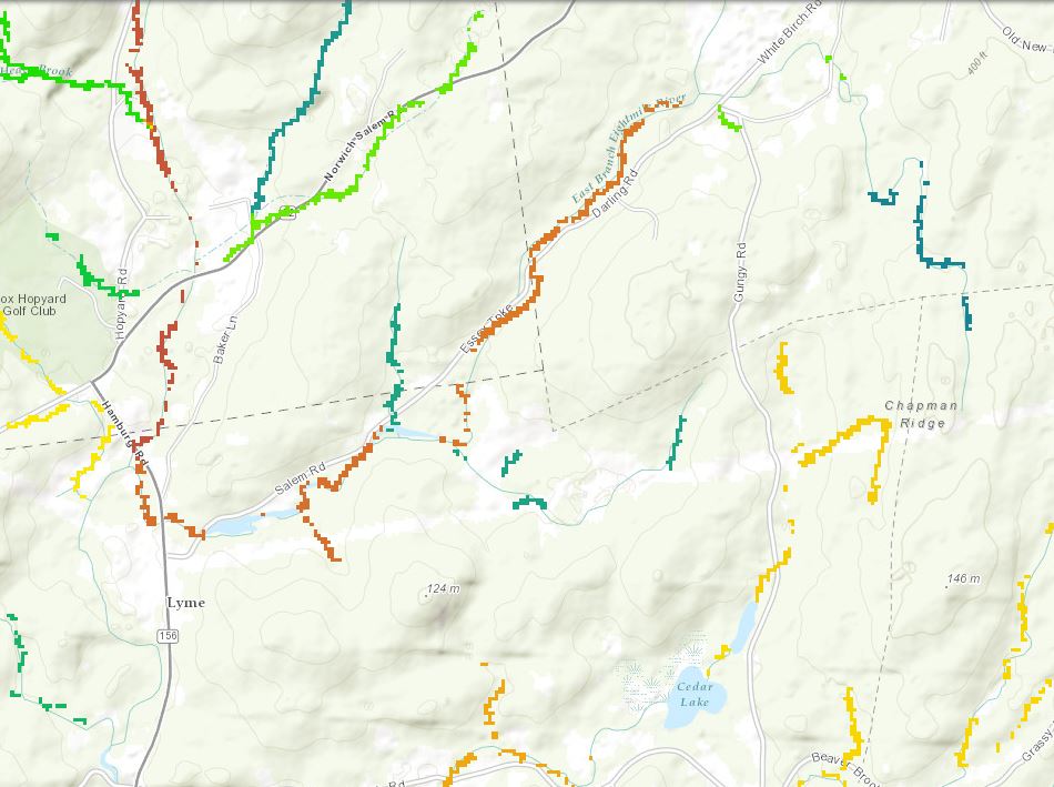
USGS stream temperature tolerance
The USGS stream temperature tolerance layer measures the relative sensitivity of stream temperatures to rising air temperatures. It predicts how quickly a stream’s temperature will rise as air temperatures rise. Lower values, which indicate that a stream’s temperature is not heavily influenced by air temperature, are interpreted as indicative of greater resilience to the warming of air temperatures projected under climate change. For example, groundwater fed and high gradient streams often show greater resilience to warming air temperatures.
View this product as a web map on Data Basin.
Access this data as a GIS download from the North Atlantic LCC website.
Read the Technical Abstract for this data layer (streamTolerance.tif).


