The Nature Conservancy Terrestrial resiliency
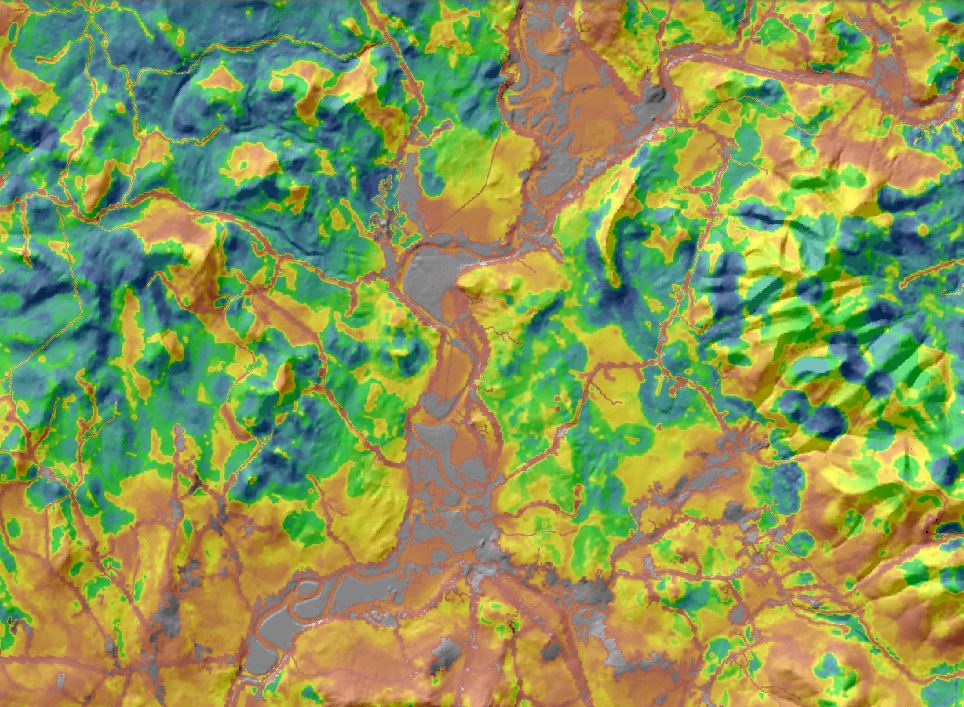
The Nature Conservancy developed a Terrestrial Resiliency Index as part of its “Conserving the Stage” initiative. The Terrestrial Resiliency Index should be viewed in the context of long-term biodiversity retention. Resiliency is based on connectivity to a diversity of landforms, elevations, and wetlands. Sites are compared to others with similar geology, elevation, and ecoregion, and scored as more or less resilient based on 1) landscape diversity and 2) local connectedness. Landscape diversity refers to the number of microhabitats and climatic gradients available within a given area. Local connectedness refers to the accessibility of neighboring natural areas.
For this project, the raw resiliency index is (quantile) rescaled by geophysical setting class and HUC6 watershed.
View this product as a web map on Data Basin.
Access this data as a GIS download from the North Atlantic LCC website.
Read the Technical Abstract for this data layer (tResiliency.tif).


