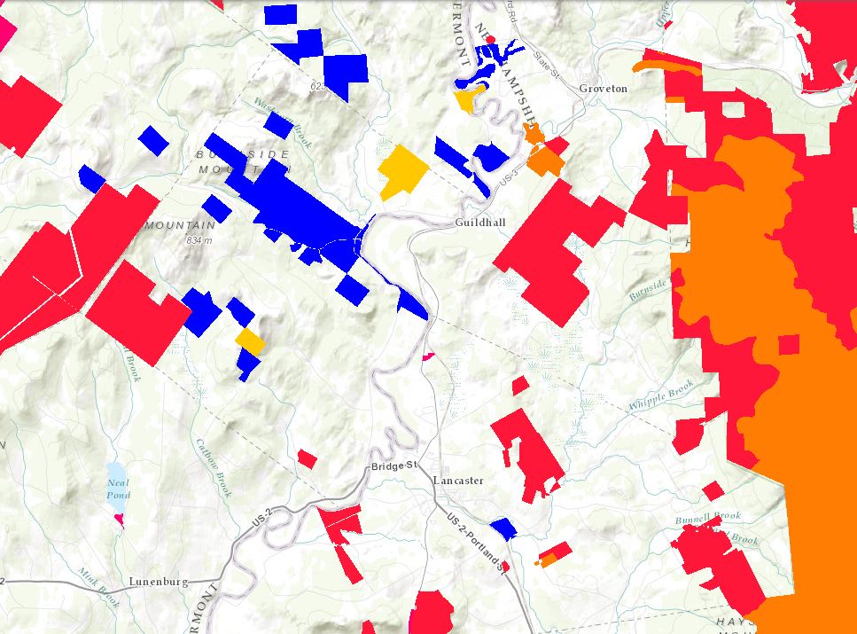
The Nature Conservancy Secured lands
Polygon layer based on The Nature Conservancy’s secured lands database. Secured lands are those with some form of permanent protection from development, and can include lands owned by organizations like TNC, the U.S. Fish and Wildlife Service, or lands protected by certain easements. TNC updates this information on an annual basis; the layer provided here is a snapshot of the dataset as of 2011.
View this product as a web map on Data Basin.
Access this data as a GIS download from the North Atlantic LCC website.
Read the Technical Abstract for this data layer (secure.shp).


