Sea level rise
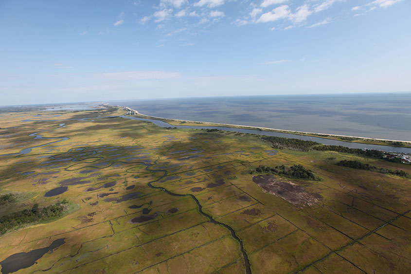
The sea level rise metric is an index of the likelihood that a site impacted by sea level rise will be resilient and adaptive or not. Rob Thieler, Erika Lentz, and others at the USGS lab at Woods Hole developed a model for sea level rise that was adapted by the UMass DSL team for this project. The sea level projections used were based on an average of the projections from two IPCC climate change scenarios for the year 2080: RCP 4.5 and RCP 8.5. Resiliency to sea level rise is defined as whether a site is projected to be inundated by salt water, or can respond dynamically so that it does not become submerged (e.g., a tidal marsh that accretes sediment quickly enough to stay above the level of the sea). In the latter case the site is considered less stressed by sea level rise.
View this product as a web map on Data Basin.
Access this data as a GIS download from the North Atlantic LCC website.
Read the Technical Abstract for this data layer (seaRise.tif).
