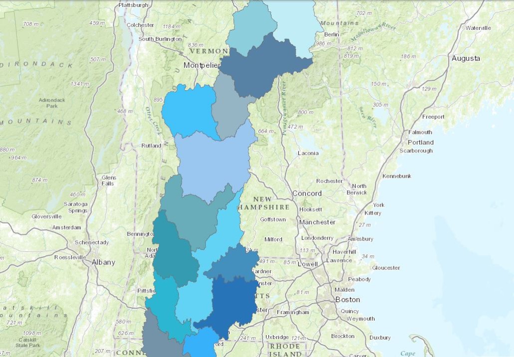
HUC 8 watershed boundaries
Based on USGS data, showing the thirteen HUC (Hydrologic Unit Code)-8 subwatersheds that comprise the Connecticut River watershed (itself a HUC 4). Smaller hydrologic units (larger HUC values) correspond to units with less total area, and hydrologic units at each level are nested within the level above. Scaling at this level might be helpful for county or town planning commissions, or local land trusts.
View this product as a web map on Data Basin.
Access this data as a GIS download from the North Atlantic LCC website.
Read the Technical Abstract for this data layer.


