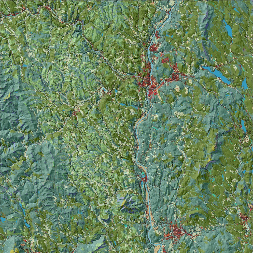
Ecological systems map
A land cover map based on the map of ecological systems originally developed by The Nature Conservancy – The Northeast Terrestrial Habitat Map – and subsequently modified by UMass/Designing Sustainable Landscapes. Major changes include updates to roads, development, streams, and coastal wetlands. This is the basemap used to build both the Index of Ecological Integrity and species landscape capability (wildlife habitat). It is therefore important in the selection of terrestrial core areas.
View this product as a web map on Data Basin.
Access this data as a GIS download from the North Atlantic LCC website.
Read the Technical Abstract for this data layer (dslLand.tif).


