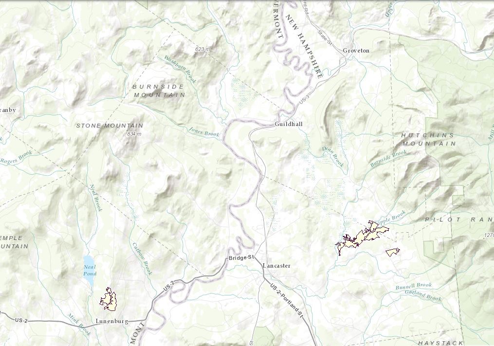
Grassland cores
This layer represents a set of terrestrial core areas for grassland species, represented by Eastern Meadowlark. These cores are based on the Eastern Meadowlark species landscape capability layer. They were built based on the best patches of habitat for grassland species. These core areas were developed separately from the terrestrial Tier 1 and Tier 2 core areas, but should be viewed concurrently with them and are considered part of the ecological core area network. The grassland cores were developed separately for several reasons, among them the fact that grasslands in the watershed are created and maintained by human actions.
View this product as a web map on Data Basin.
Access this data as a GIS download from the North Atlantic LCC website.
Read the Technical Abstract for this data layer (eameCores.shp).


