Aquatic buffers
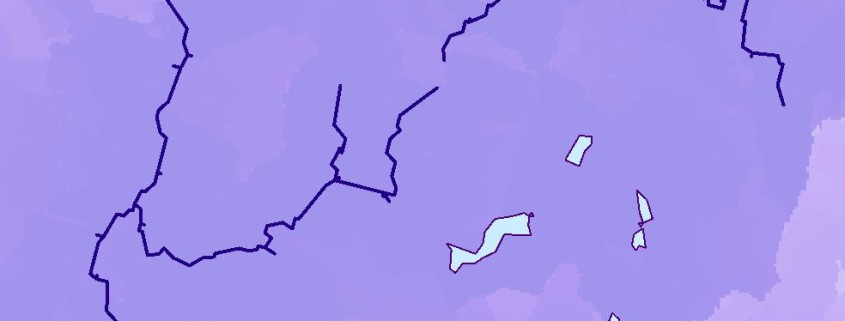
Aquatic buffers surround the aquatic (both lotic and lentic) cores. Buffers represent the areas estimated to have a strong influence on the integrity of the aquatic cores based on watershed processes. They include the areas that are hydrologically connected to the cores, based on the idea that human actions (such as development or pollution) within the buffer area may impact the integrity of the aquatic cores. As a result, the buffers do not correlate with the ecological integrity of the underlying land. In this application, buffers are not a fixed entity, but rather a “zone of influence” around the cores that decreases as you move away from the stream. The zone of influence is narrower on rivers than on headwater creeks because of the relative ability of those waters to absorb impacts from human activities and maintain their integrity.
View this product as a web map on Data Basin.
Access this data as a GIS download from the North Atlantic LCC website.
Read the Technical Abstract for this data layer (aquaticBuffers.tif).


